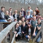
Review session is at 8 pm in Scovel 116 on Sunday. Here are the key slides to go with the review sheet (also poster here with links). It has been fun and I think we did some good for moving climate science in Ohio a bit further. I will send you updates as we continue to work on the Cedar Creek cores, remember that dating really pretty much is everything, and we had some good examples of that through the course of the semester…..Now that you are more or less trained in some of the fundamentals there is lots of good science to be done and the Tree Ring Lab and Sediment Core facilities are open to you for any future projects you want to take on.  Climat Change 2014 Class standing on the porch of the McGlumphey Rental Cabin – outer ring date 1825 CE.
Cedar Creek Report is Out

The Cedar Creek site report is now assembled. Take a look at it here and let me know if there are any changes you suggest or errors you find. This is the format for your project – GSA format take a good look at the referencing/outline and format.
Two Master Diagrams
Two of the compilation diagrams for the Mastodon site are included below (yes they will be on the quiz):
1 – Photos of the units, stratigraphic column, C-14, LOI and Magnetics (write a caption for it).

2 – Correlate the units in the the diagram below (thanks Kelsey et al.).

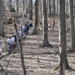
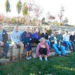
As the weather cools – the Wooster Geology Climate Change class ventured out in the field one more time. For the remainder of the semester we will try to get some work done. Two sites were visited – the Cedar Creek Mastodon Site and the OARDC.
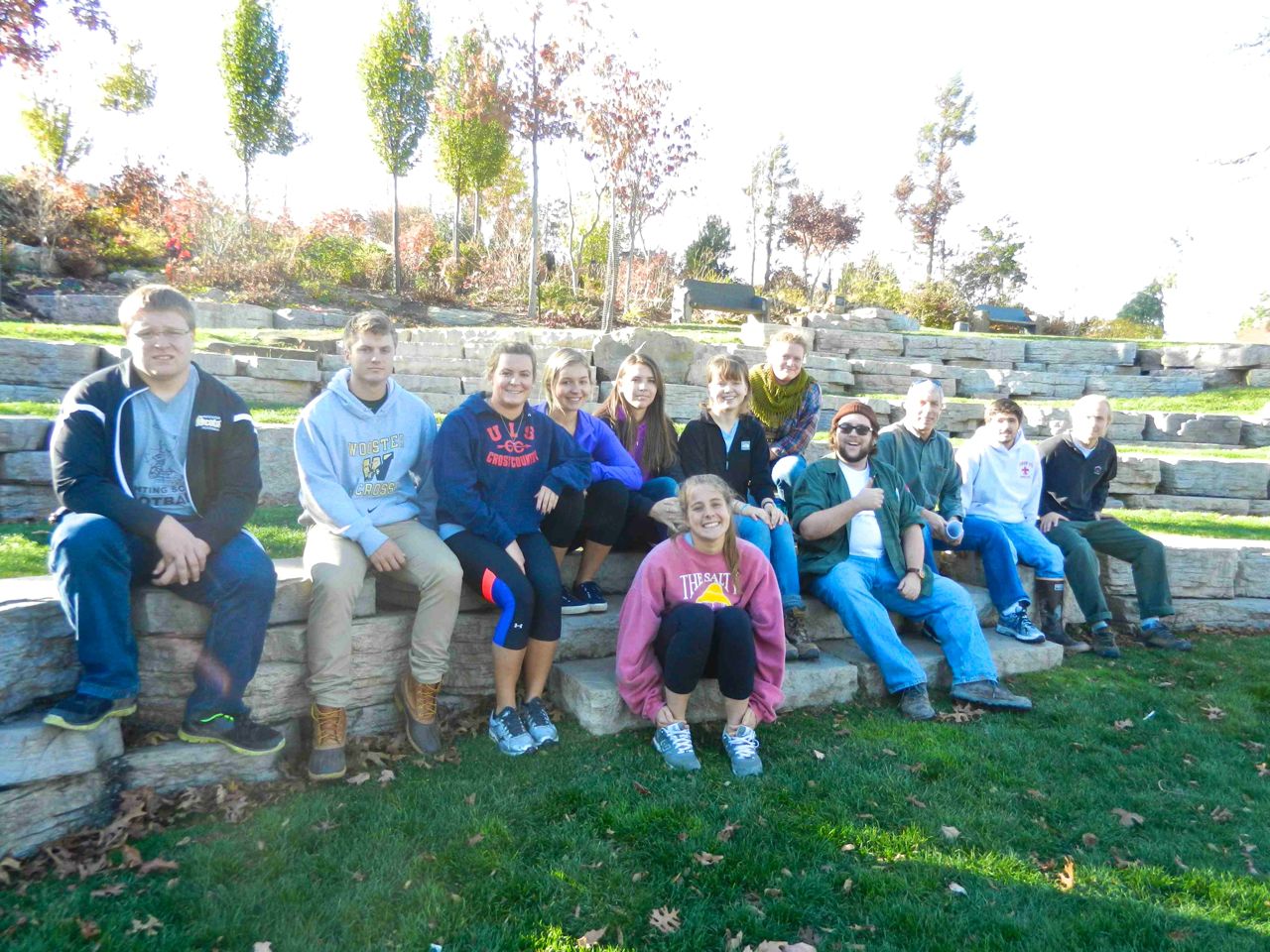
 Two weeks ago a pit was dug from our coring sites to the Mastodon excavation site. The mission was to link the cores to the archaeological site.
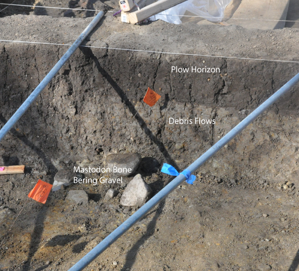
The general stratigraphy of the mastodon site. The muds have a high calcium carbonate content that helped preserve the bones and tusk. Note the plow horizon about 25 cm down – the trip also focused on the agricultural history of Ohio and the role it plays in climate change.
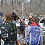
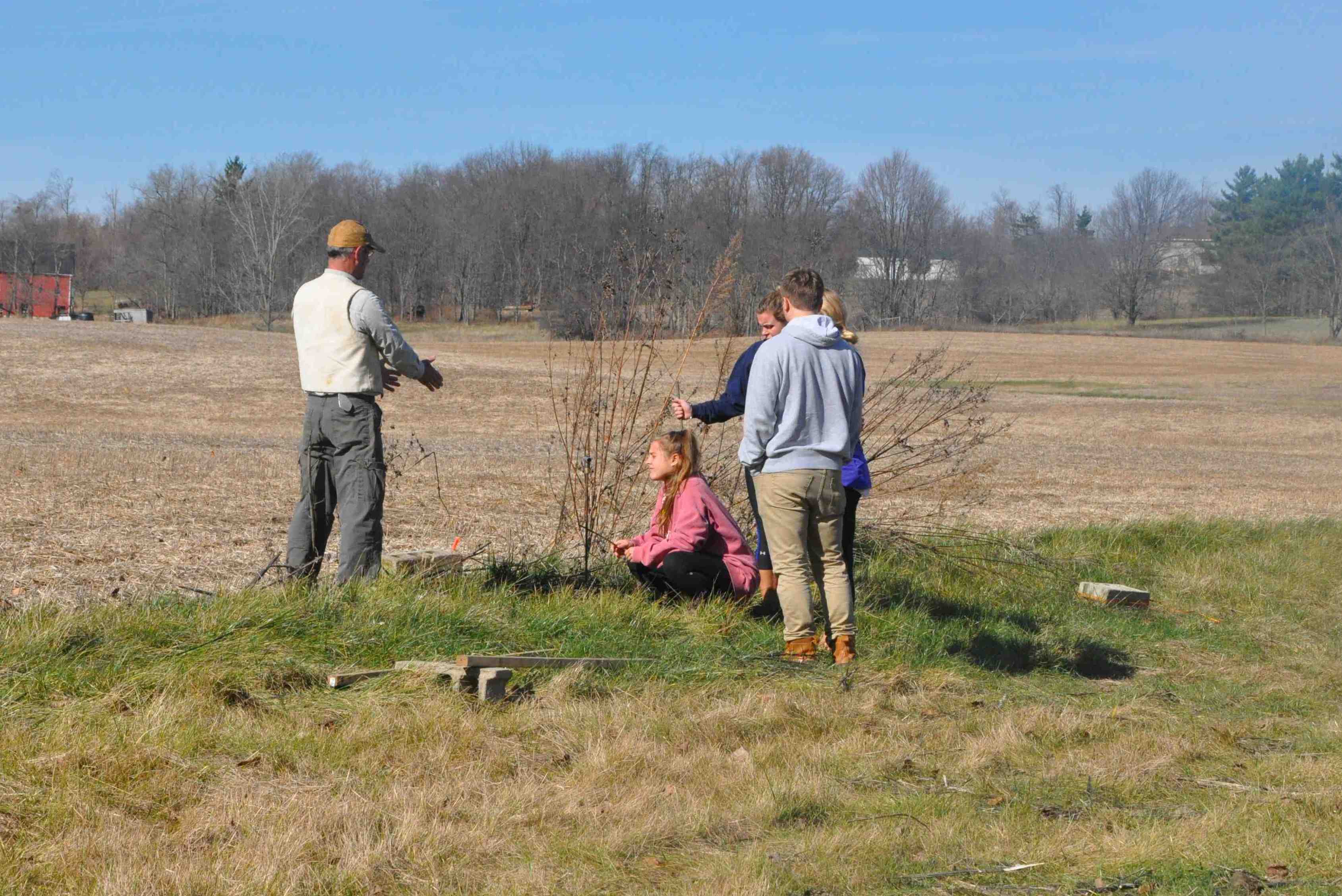 Jeff Dilyard, who hosted us at the site, explains to the class that a GPR (ground penetrating radar) survey identified an anomaly at this location. Isabel probed the area (see below) and “clunked” on a tile.
 Isabel above used a tile probe to investigate the subsurface (note the chin method she is employing).
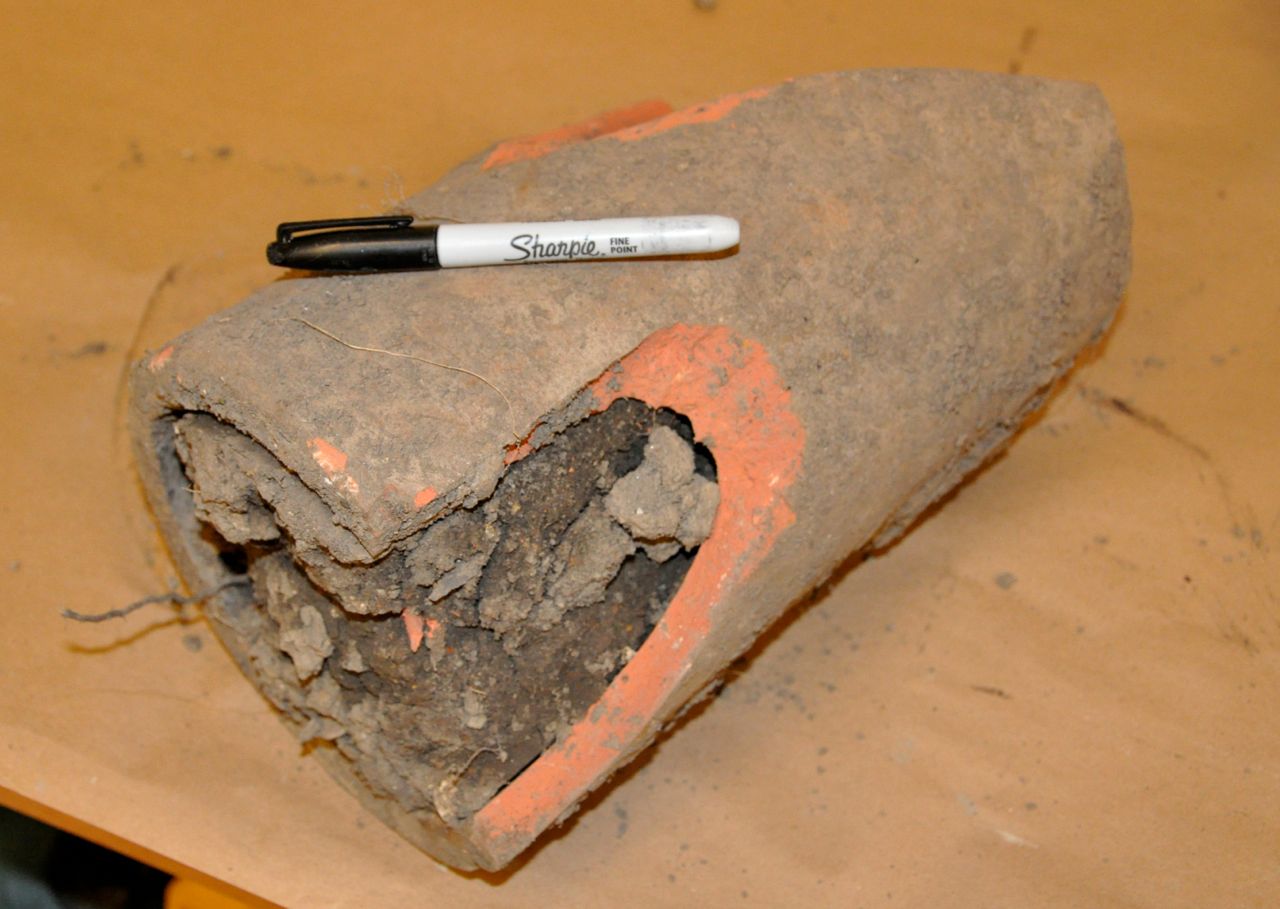 What is a “tile”? above is an old drainage tile from the site. This one is plugged with mud and the plugging was the reason the mastodon was discovered. New tiles were installed last year and the digging brought up the original tooth of the mastodon. Tile and draining of the Midwest allowed for our great agricultural history. In addition, the tile and draining allowed widespread plowing that released the carbon in naturally sequestered organic rich wetland soils to the atmosphere.
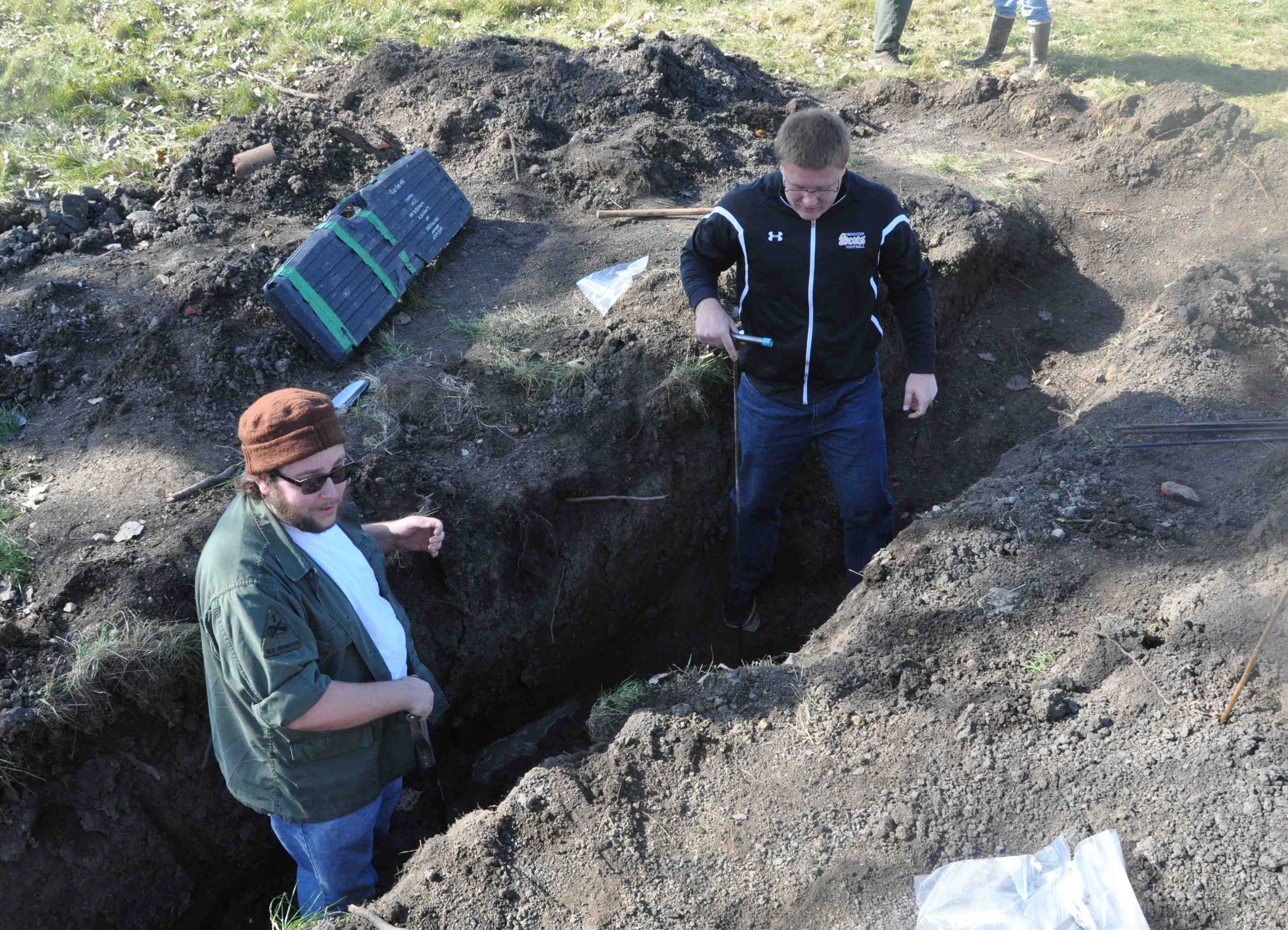 The crucial end of the backhoe pit where probing and sampling links the bog cores to the mastodon site.
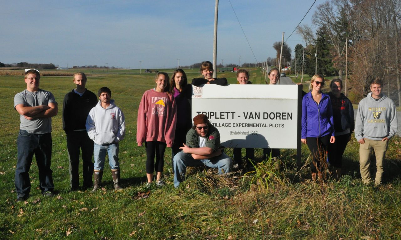
A quick stop ate the Triplett-Van Doren Experimental Plot. For over 50 years a variety of experiments have been underway here. We discussed the side-by-side no-till and mold board plowed sites and their ability to sequester carbon. Not plowing (no-till) sequesters carbon and mitigates erosion. Less carbon dioxide to the atmosphere and less sediment flux on the landscape.

A darker colored soil in the core barrel above shows more carbon in the soil relative to the one below.
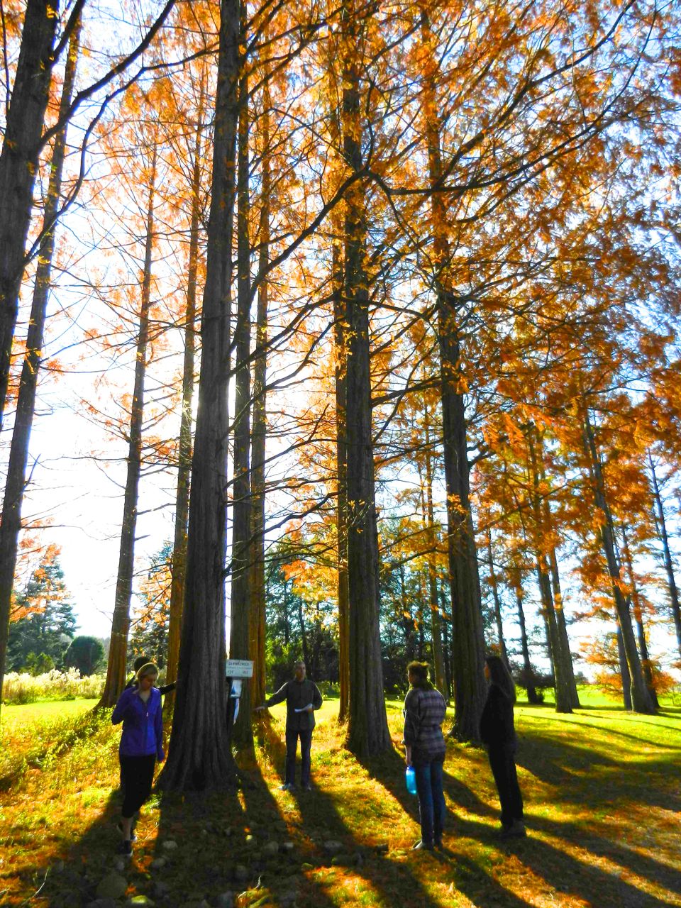
A quick stop at Secrest Arboretum to view the famous Dawn Redwoods. Under the proper conditions these trees can grow a meter each year. Our tree-ring data from this stand helps define the optimum conditions for their growth. Planting trees sequesters carbon and helps out in lots of other ways as well.
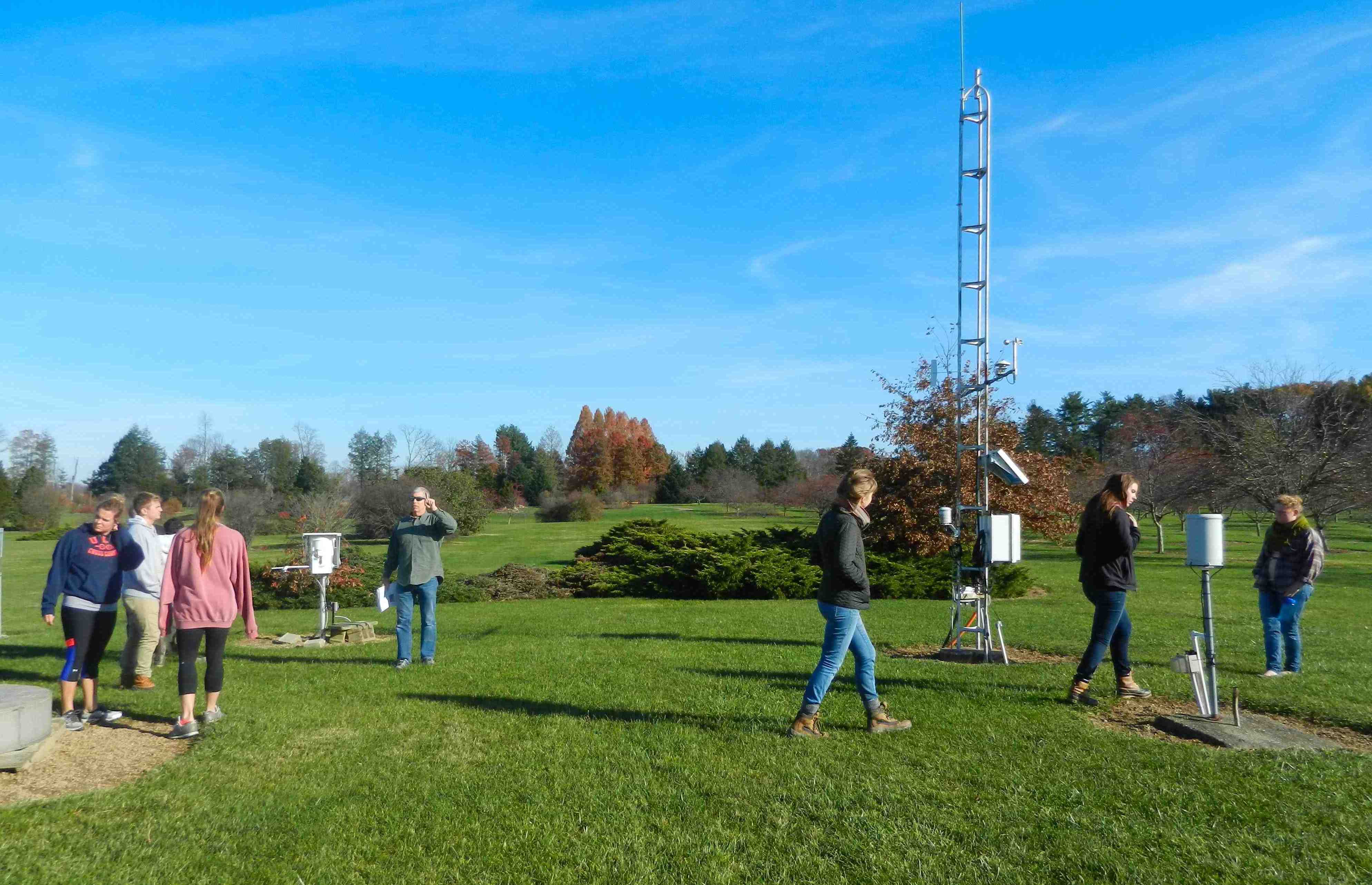
In addition to the no-till fields and trees at Secrest – there is a meteorological record that spans more than 120 years (note how Tom – far left, seems to be the only student listening to the instructor). These instruments have been keeping track of climate and we will use it to compare with our tree ring study. Our tree ring project asks the question: during the time of European Settlement in Ohio what were the climate conditions like? (precipitation and temperature) and could the widespread deforestation and tile and draining of the region have perturbed the climate (see this video for more on this subject). This question is relevant to the ever-present striving of climate scientists to investigate the relative roles of natural climate variability and anthropogenic change.
A Stop at Secrest Arboretum

This glacial erratic made is way down to Wayne County during the course of the 20 glacial cycle over the past 2 million years. Before that is was buried and exhumed in the earth’s crust to a depth of over 10 km at least twice. A complex history that not all the students were comfortable with…
Forcing Factors

The diagram above came up in the Emily and Sarah’s presentation. This is for recent climate change relevant to the warming world of today. What might this look like for glacial times, for longer timecales? for millennial-scale variations? What is missing and what may not apply for the deglacial times we need to consider in the lake core study? How about the tree-ring study? Identifying which forcings are relevant needs to be considered.
- « Previous Page
- 1
- 2
- 3
- 4
- 5
- …
- 7
- Next Page »